Curated by Rod Taylor
In 1951, US congress passed a bill approving the contruction of the Libby Dam, the dam to be located near the town of Libby, Montana. The Libby Dam began construction in 1966 and was completed in 1973. The building of the Libby Dam on the Kootenay River created the reservoir now known as Koocanusa. It extends northward 145 km (90 mi) – 77km (48 mi) on the southern side of the International border and another 68 km (42 mi) on the northern portion.
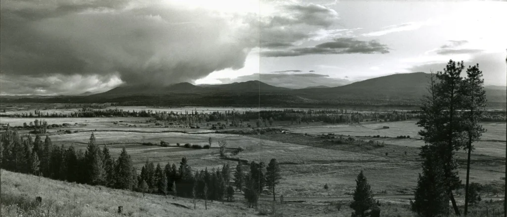
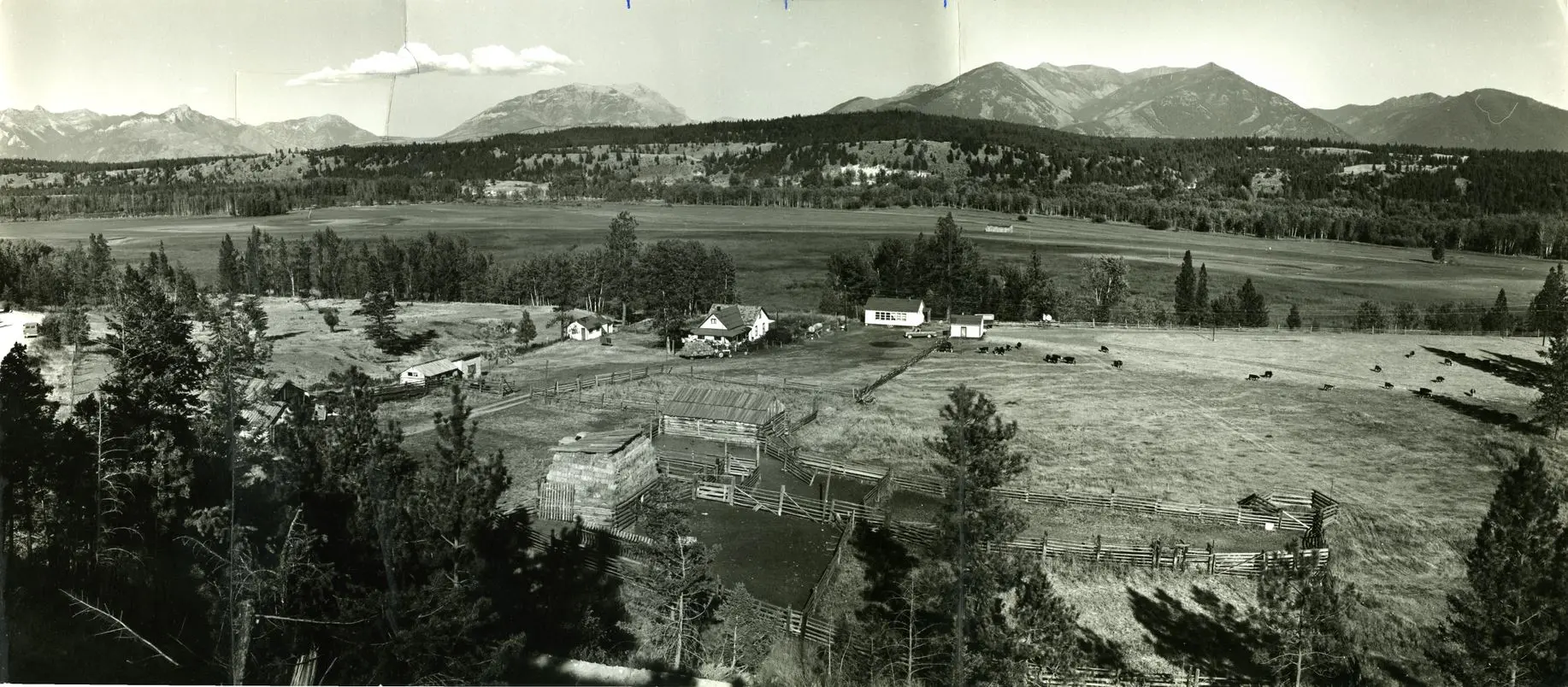
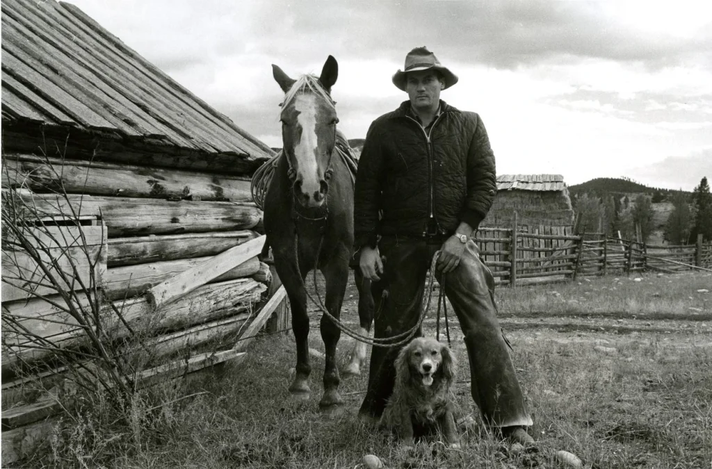
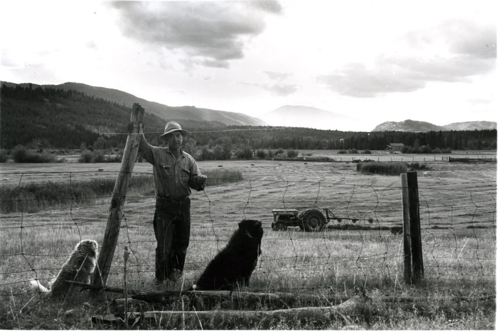
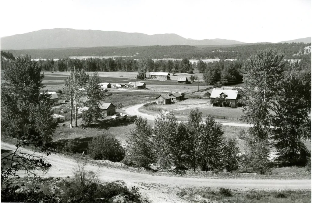
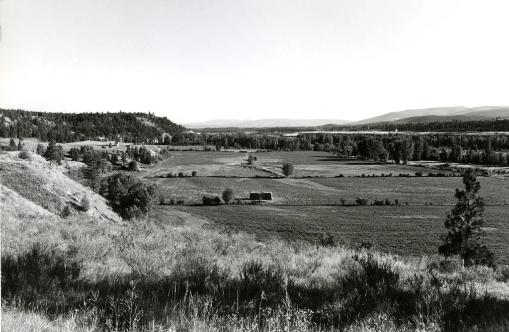
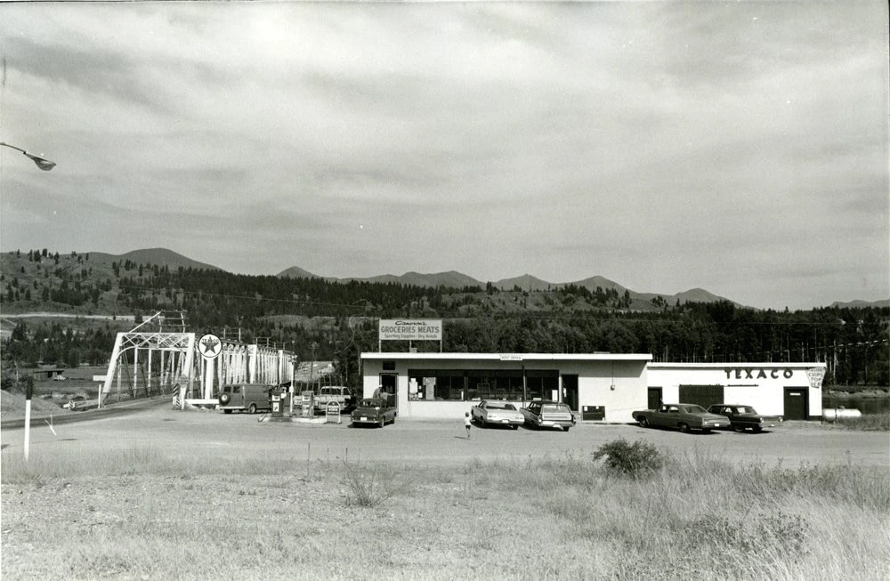
The photographs you see here were taken between 1969 and 1972 by Nelson-born Stanley G. Triggs from the Shawn Lamb Archives. They document not only the buildings and landscape of the East Kootenays, but the dramatic changes in the communities spread along the Kootenay River just north of the International Border affected by the construction of the dam whose lives would be forever and dramatically altered by the rising water level.
Stanley G. Triggs is a retired Curator of the McCord Museum of Photography at McGill University. Stanely will be in attendance at the opening on March 14th, from 3-5pm. In conjunction with the exhibition there will be an evening of conversation, video and reading with author of Treading water, Anne De Grace and filmmaker, Nicole Tremblay.
Exhibition Text Panels
Hydroelectricity Index
Map of dams within the Columbia River drainage basin
